I woke up a bit late, but talked myself into a hike and managed to set off from Budapest at noon for Penc. The loop from Penc came to 13.6 km in about four hours: a solar system model, a SOTA summit, a geodetic survey tower, and a geocache I didn’t find.
The orange line is the route recorded with the Geoládák app. The blue dots are the two ends of the solar system model, the red one is the SOTA summit, the orange one the survey tower, and the grey one GCPENC, which I didn’t find.
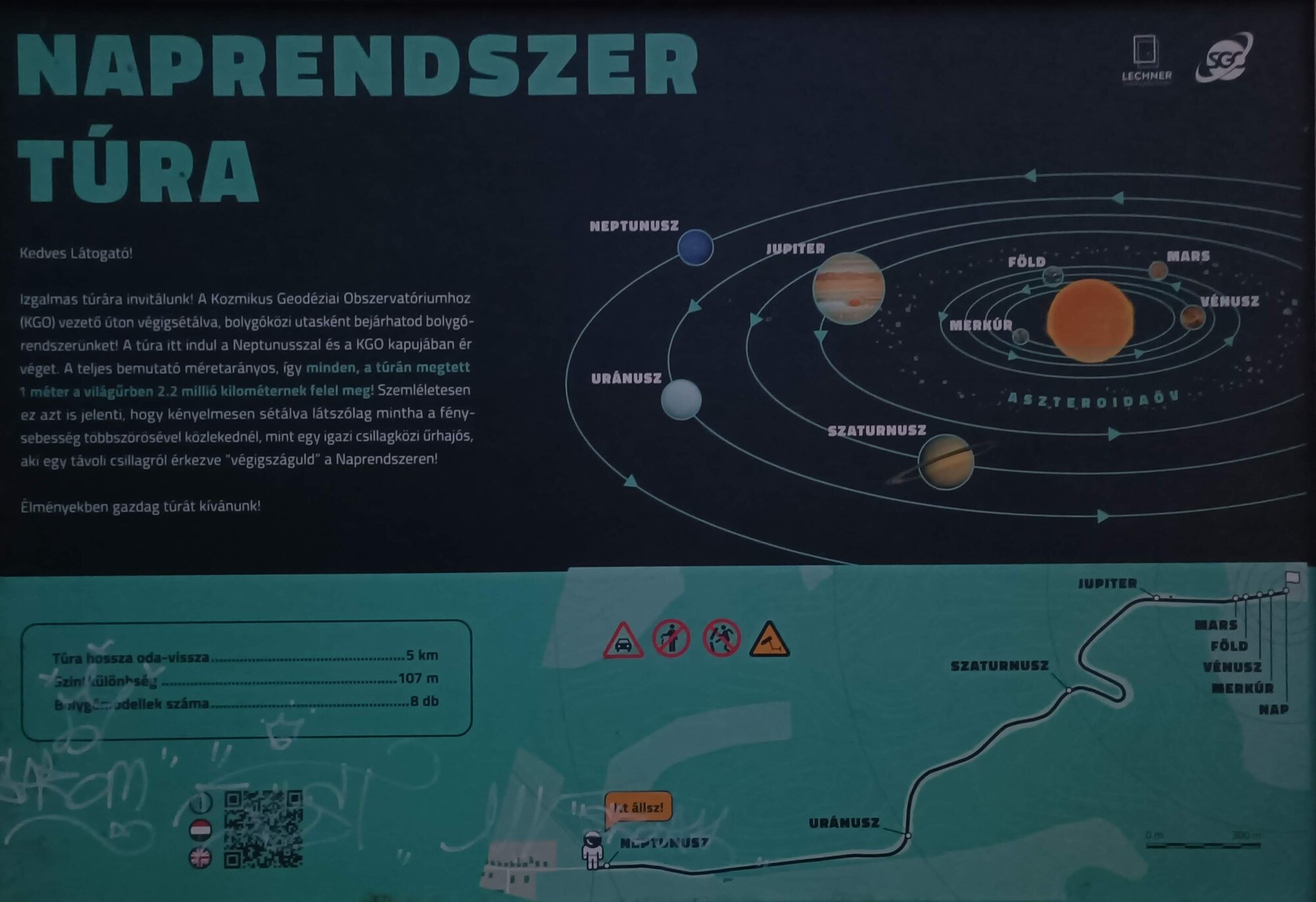
The solar system trail
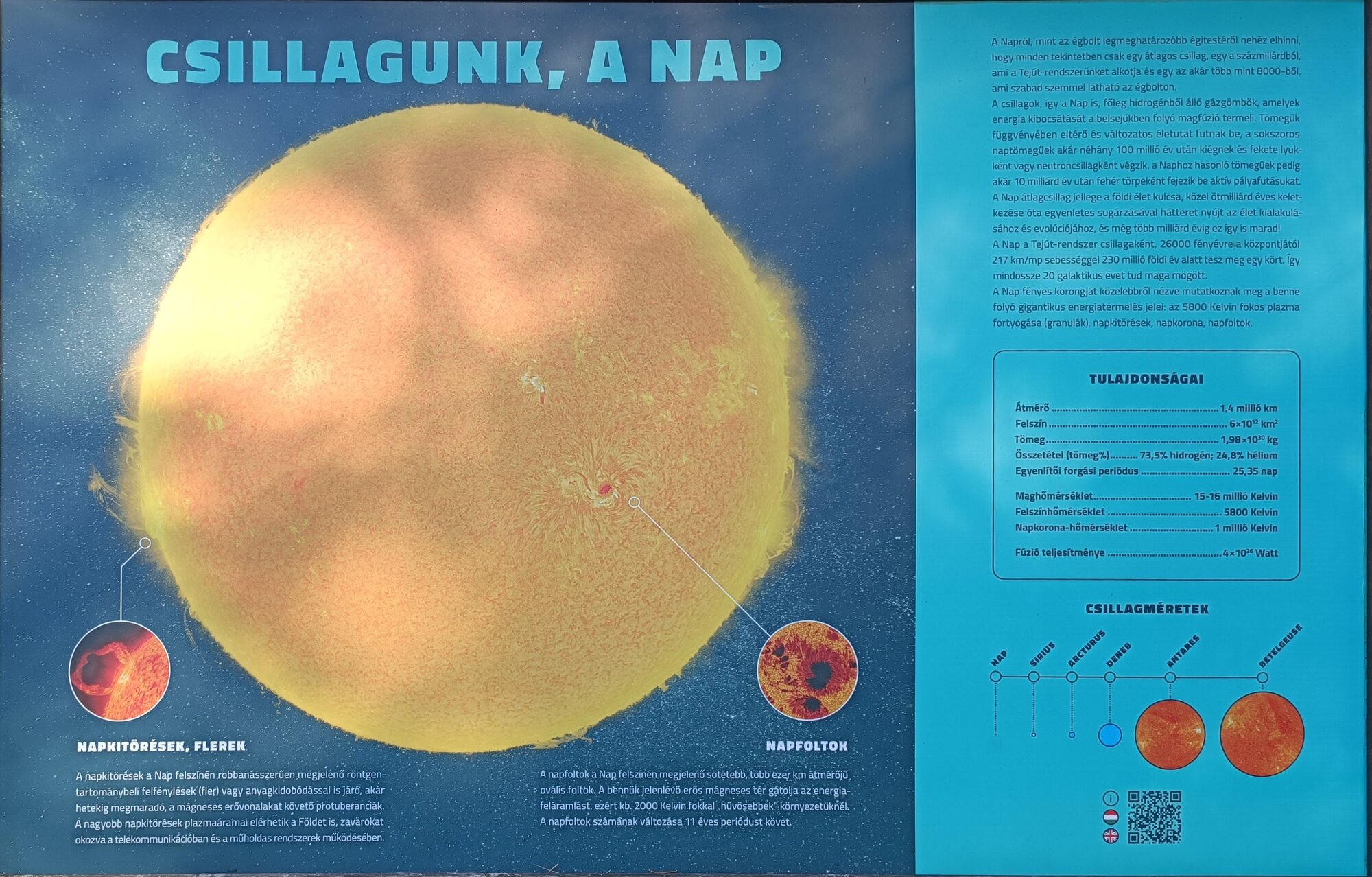
The road up to the Cosmic Geodetic Observatory (KGO) has a scale model of the solar system along it: it starts with Neptune at the edge of the village and ends with the Sun at the KGO gate. Every metre you walk is 2.2 million kilometres, and the trail is 5 km there and back.
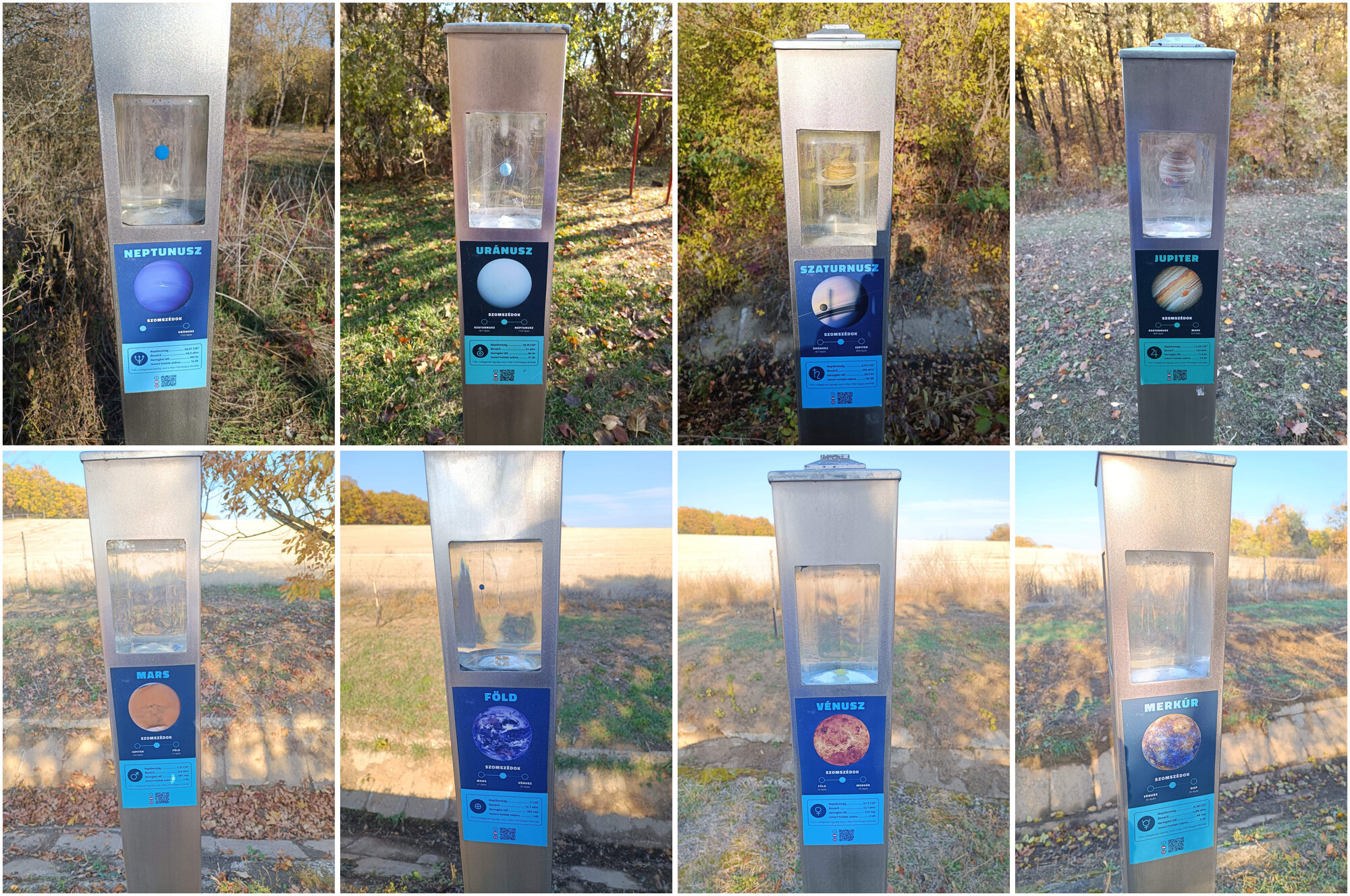
Each of the eight planets has a post with a scale model in a glass cube. From Neptune to Mercury:
HA/KM-034 Nagy-Szór
From there I walked on to Nagy-Szór (HA/KM-034, 380 m) and activated it with 15 QSOs, all on 20 m. Thirteen CW contacts came in 18 minutes between 13:33Z and 13:51Z, then one more CW and one SSB.
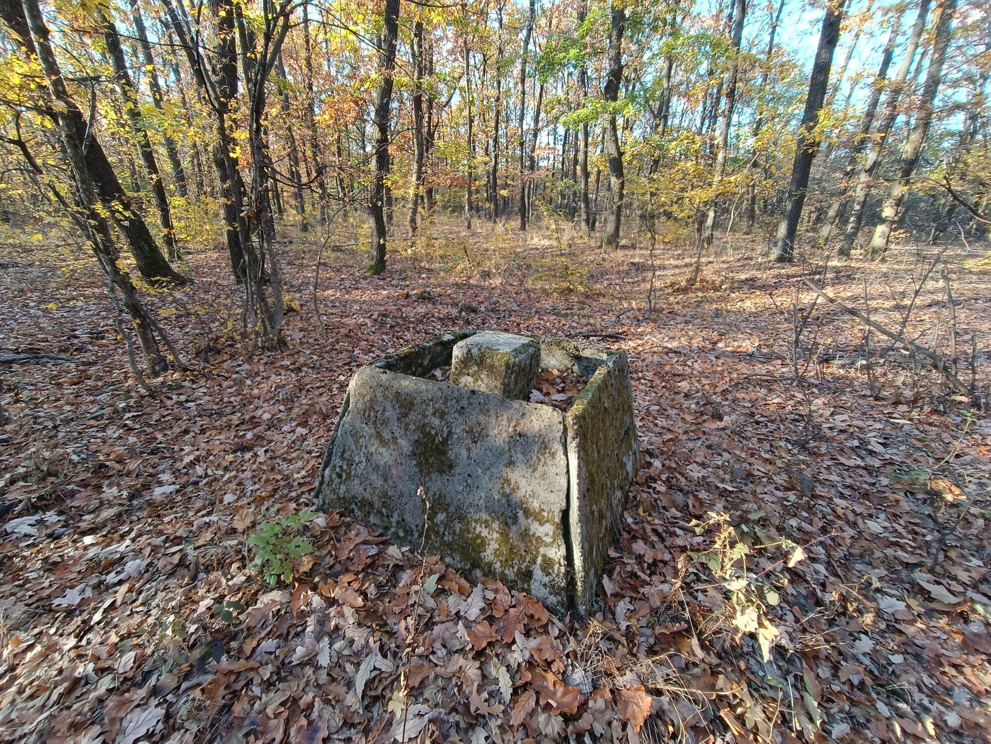
Most callers were from Western Europe: France, Switzerland, Belgium, England, Scotland, Northern Ireland and Germany. There was also a summit-to-summit with EA2WX/P on EA2/BI-055 in Spain. Two Hungarian stations came at the end: HA5BRD and HA5MIG, who I’d also worked in the Marconi Memorial the day before.
The map of the chasers is on sotadata.org.uk.
The Látó-hegy survey tower
After the activation I visited the nearby Látó-hegy geodetic survey tower for the HVTE geodetic tower challenge. Telecom operators have taken this one over too, and padlocks guard the steel door.
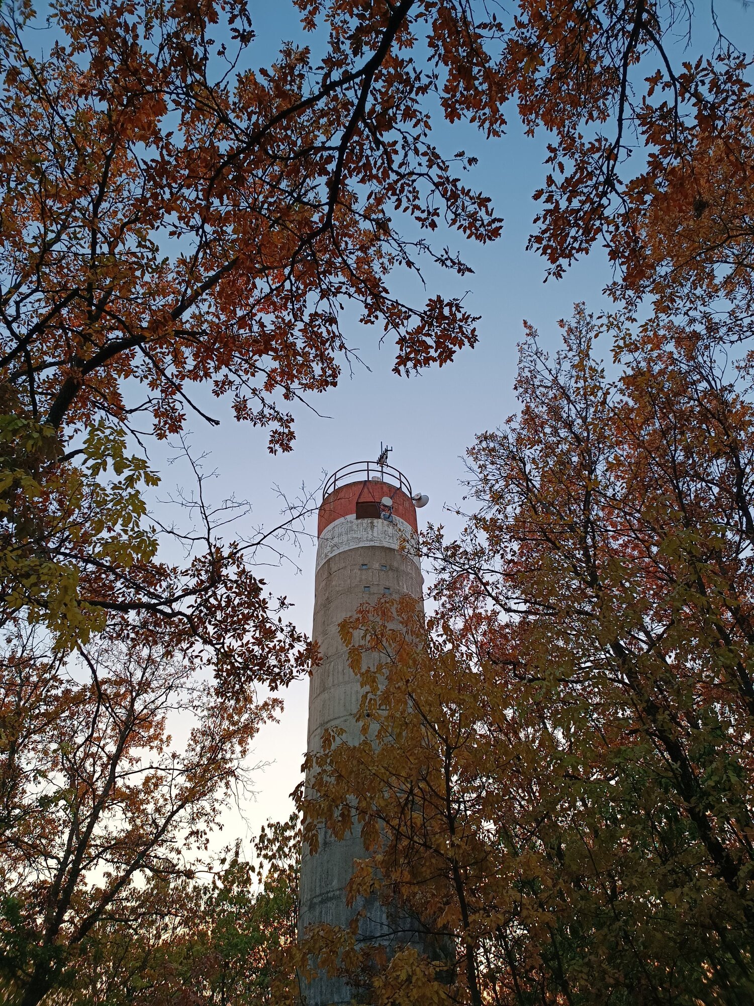
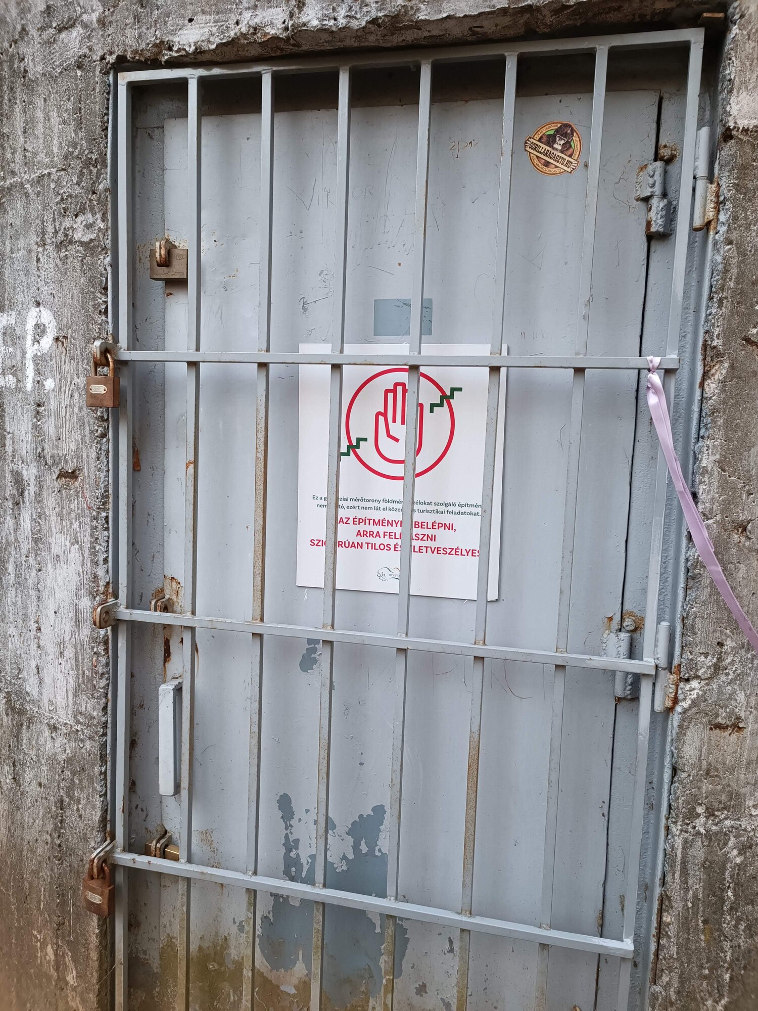
After noting down the tower’s code I headed on to the GCPENC geocache. I didn’t find it, sadly; I hope the owner accepts the log without the password.
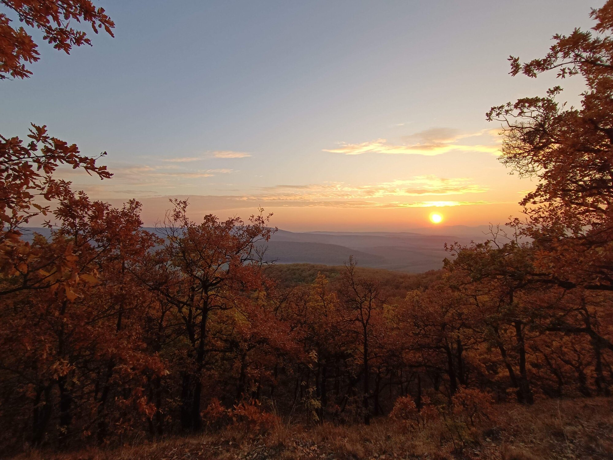
And to finish, the sunset: